In a world that’s constantly evolving, the energy industry is no exception to the technological revolution. The Energy Drone stands at the forefront of this transformation, bringing together visionaries, innovators, and industry leaders to harness the power of UAVs, robotics, …
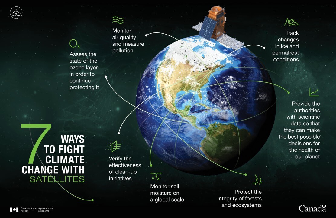
In recent years, the impact of climate change has become an increasingly urgent concern, prompting innovative solutions to combat its effects. In Canada, where the beauty of nature intertwines with bustling urban landscapes, a groundbreaking approach harnessing remote sensing technology …
In the realm of satellite imagery and UAV (Unmanned Aerial Vehicle) systems, Enhanced Super-Resolution Generative Adversarial Networks (ESRGAN) stands as a game-changer. Developed by Geomount Inc., this innovative approach harnesses the power of Deep Learning to significantly enhance image quality …
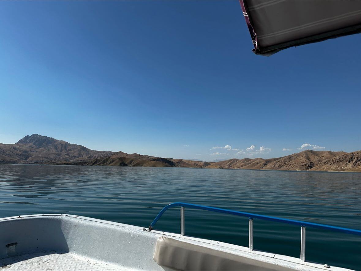
We’re excited to announce a pioneering project in the Middle East focused on sedimentation mapping for a key lake in the region. Spearheaded by our dedicated team, this initiative is set to make waves in environmental conservation and sustainable management …
In an era where technology seamlessly intertwines with every facet of our lives, the field of Geographic Information Systems (GIS) stands out as a beacon of innovation, particularly with the advent of artificial intelligence (AI) and machine learning. At Geomount …
Introduction Our road infrastructure plays a pivotal role in modern society, connecting us to our destinations and ensuring safe travel. Yet, the wear and tear of pavement surfaces, especially the appearance of cracks, poses a constant challenge. Traditional inspection methods …
Introduction: We are excited to announce a groundbreaking partnership between Geomount Inc., a global leader in geospatial data analysis and mapping, and The Alpha 5, a renowned expert in geospatial technology and environmental management solutions. This collaboration sets the stage …
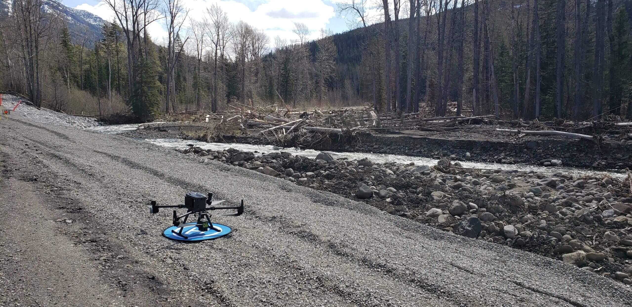
Unmanned Aerial Vehicles (UAVs), also known as drones, have gained significant popularity in recent years due to their versatility and ability to capture high-resolution data. In the field of hydrology and water management, UAVs are being increasingly used for various …
In recent years, drones have emerged as a powerful tool for various industries, from agriculture to environmental monitoring. With their ability to cover large areas quickly and efficiently, drones have the potential to play a significant role in promoting sustainability. …
Aerial surveying of landfills is a crucial aspect of landfill management, providing a comprehensive overview of the site from a bird’s-eye view. It is important to perform aerial surveys annually for several reasons, including: Furthermore, regular aerial surveying provides valuable …


