Drafting
BIM
Modeling
We serve our clients in architecture drafting, shop drawing, and engineering design details, and serve to asbuilt documentation, 3D scan as-builts, and collaborate with ease. With our services, Clients can costs and help save the most precious commodity — time.
Our team can use it for precise 2D and 3D drafting, design, and modelling Architectural Floorplan with high-resolution interior design rendering

We use 3D laser scanning, digital measurement and reality capture technologies importing them to Revit to generate 2D and 3D models.

We design and model various projects, including roads and highways, rail, bridges and tunnels, site development, and storm and sanitary networks.

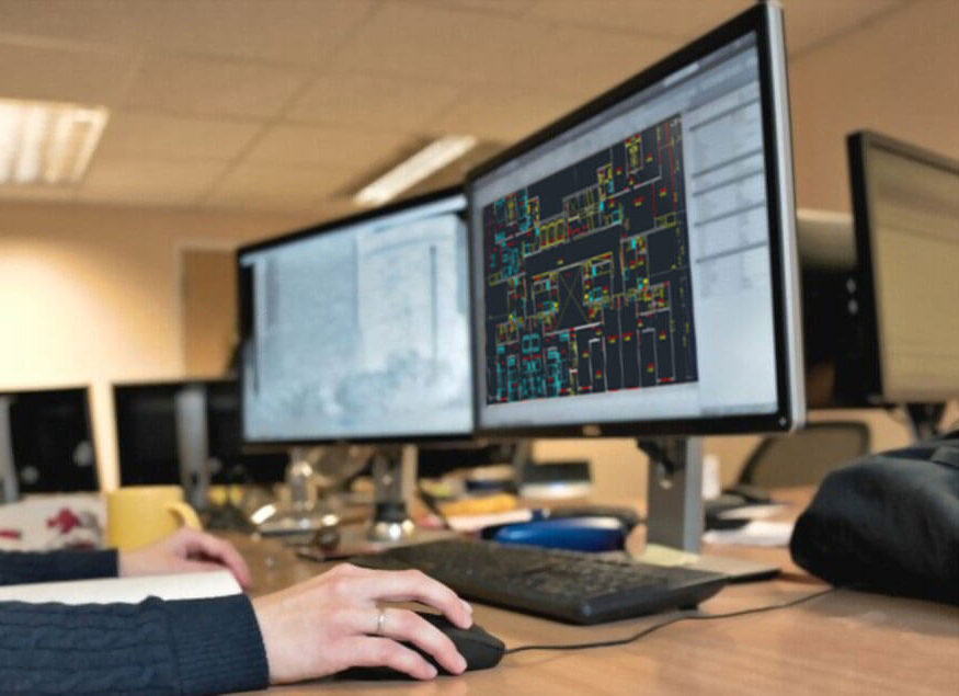
dRAFTING,
3d MODELLING
In each startup project, We provide a solution to shorten the time it takes to conduct site surveys, so our clients can place bids fast, and accelerate the planning and design process with highly accurate architectural plans and 3D models. Our team of experienced designers is ready to provide you with high-quality package architectural rendering, Virtual walkthrough, and 3D modelling services as follows.
- CAD Digital Conversion
- Floor Plan Design (2D and 3D)
- City Permit sets
- Single-family home design & Landscaping
- Interior Layout, 3D Visualization and, Walkthrough
- Services for Homes, Commercial and Restaurant Designs
Geomount Inc. has continuously operated several 3D laser scanners from Trimble, Faro, and Leica Geosystems. We collaborate with our clients to understand their requirements and create deliverables that they can use effectively. We plan, and export drone maps into BIM, GIS, and CAD software.
- Heritage documentation and building facades
- 3D data for BIM & Reverse engineering
- Digital as-built models for clash detection
- Building facades, interior detail, and structural as-built surveys
3D
Scanning
We create MEPF design models using our 3D modelling expertise. 3D modelling ensures that service routing does not collide with structural components. 3D BIM models add significant value to the project through improved visualization, clash detection, constructability analysis, and other benefits.
We aim to deliver BIM models with accurate details to increase site efficiency. Our data-rich BIM models have been delivered in the desired Revit versions, Revit Fabrication, NWC, DWG, and/or IFC format. MEPFSC model development for all trades (Mechanical, Electrical, Plumbing, Fire Protection, Structural & Civil).
The 4-D and 5-D BIM data-rich models for scheduling, quantity take-off, and cost estimation. BIM Models can be used as key input data for Digital Twins, thereby optimizing facility management.

Our interior design team creates functional and stylish homes with actual source lighting from your space. Unlike conventional staging, in which the contents of a home are removed and replaced with attractive rented furniture and décor to help improve a home’s sale price.
The advantages of virtual staging are that it costs considerably less, and, in this time of social distancing, property owners can still show their homes in the best light.
Throughout a project, our team assists architects, construction professionals, and civil engineers in developing actionable insights. With Civil 3D, ReCap Pro, InfraWorks, and Dynamo, we deliver roadway projects from concept to design in context and accelerate detail design.
We create dynamic, flexible 3D models of road corridors. We simulate driving through the corridor and visually evaluate sight distance and influence analysis.
We create digital models of ground topography for studies such as land-use feasibility, transportation system planning, and water flow simulations.
We perform stormwater management tasks, including storm sewer design. we define pipeline paths, optimized with hydraulics/hydrology analysis.
We use materials information to create reports for volumes along an alignment, comparing design and existing ground surfaces, and quantity takeoff.
In each startup project, We provide a solution to shorten the time it takes to conduct site surveys, so our clients can place bids fast, and accelerate the planning and design process with highly accurate drone-generated maps and 3D models.
We use 3D GIS brings real-world context to our client’s maps and data. Instantly transform client data into smart 3D models and visualizations that help our clients. We analyze and solve their problems by sharing our ideas and concepts.