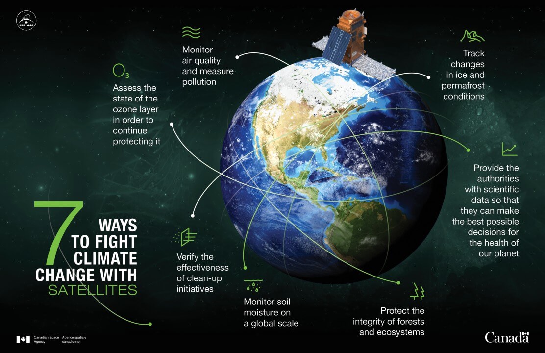
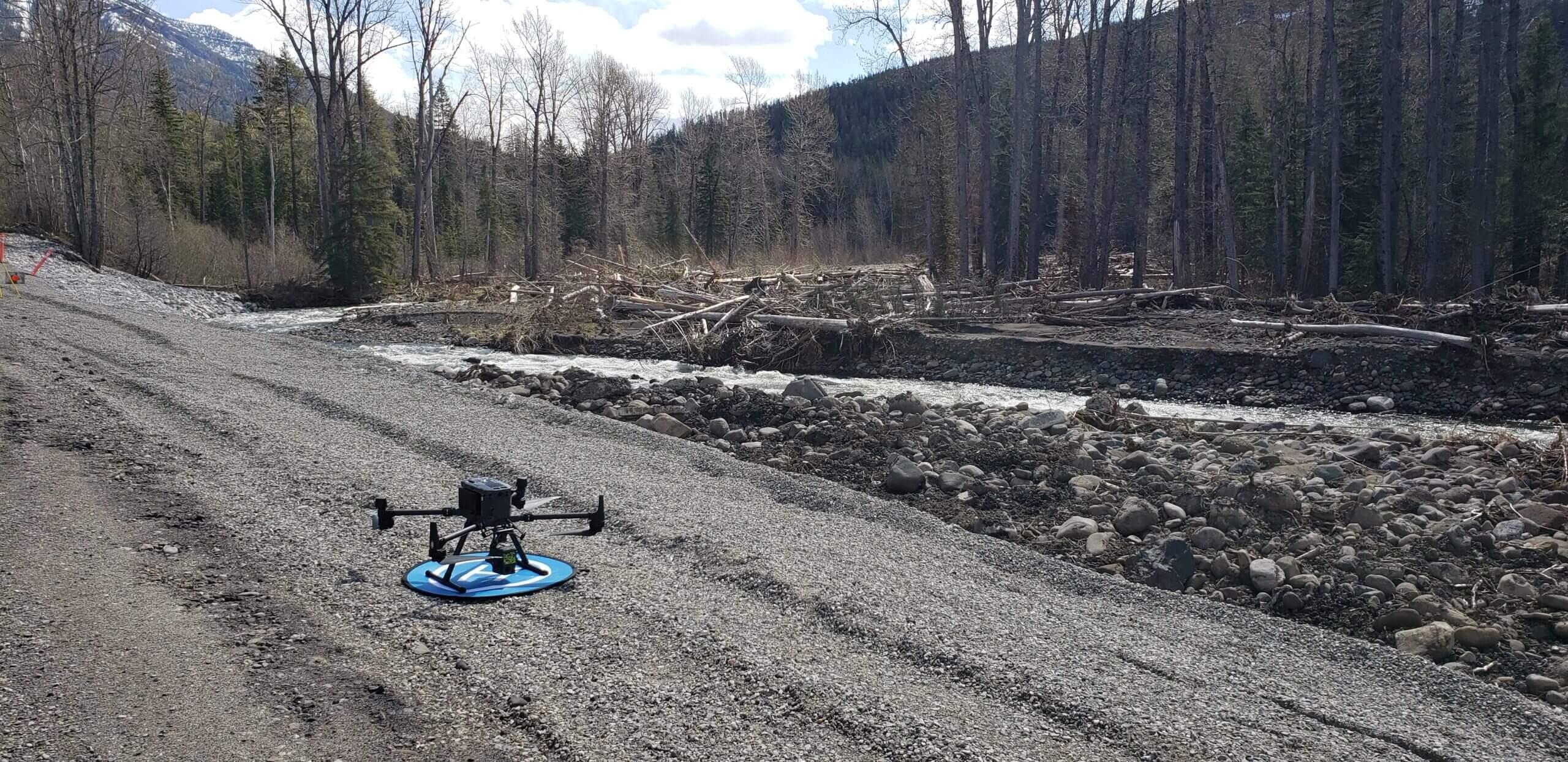
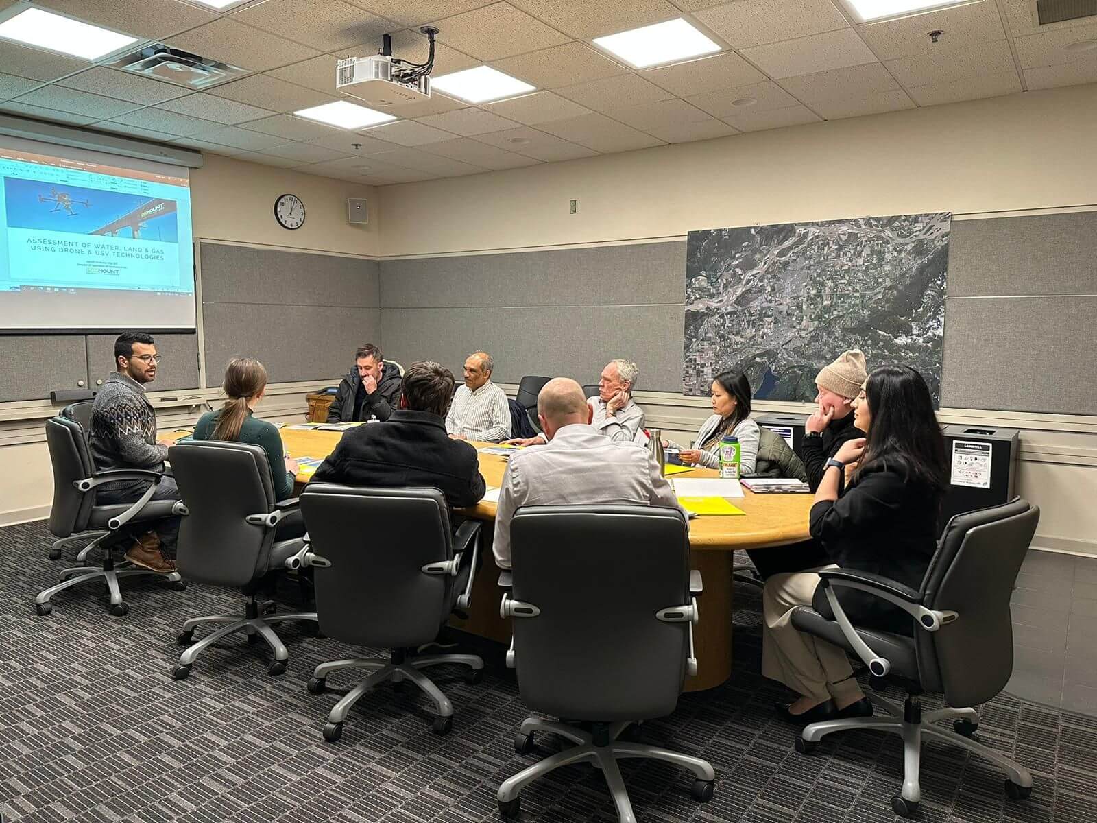
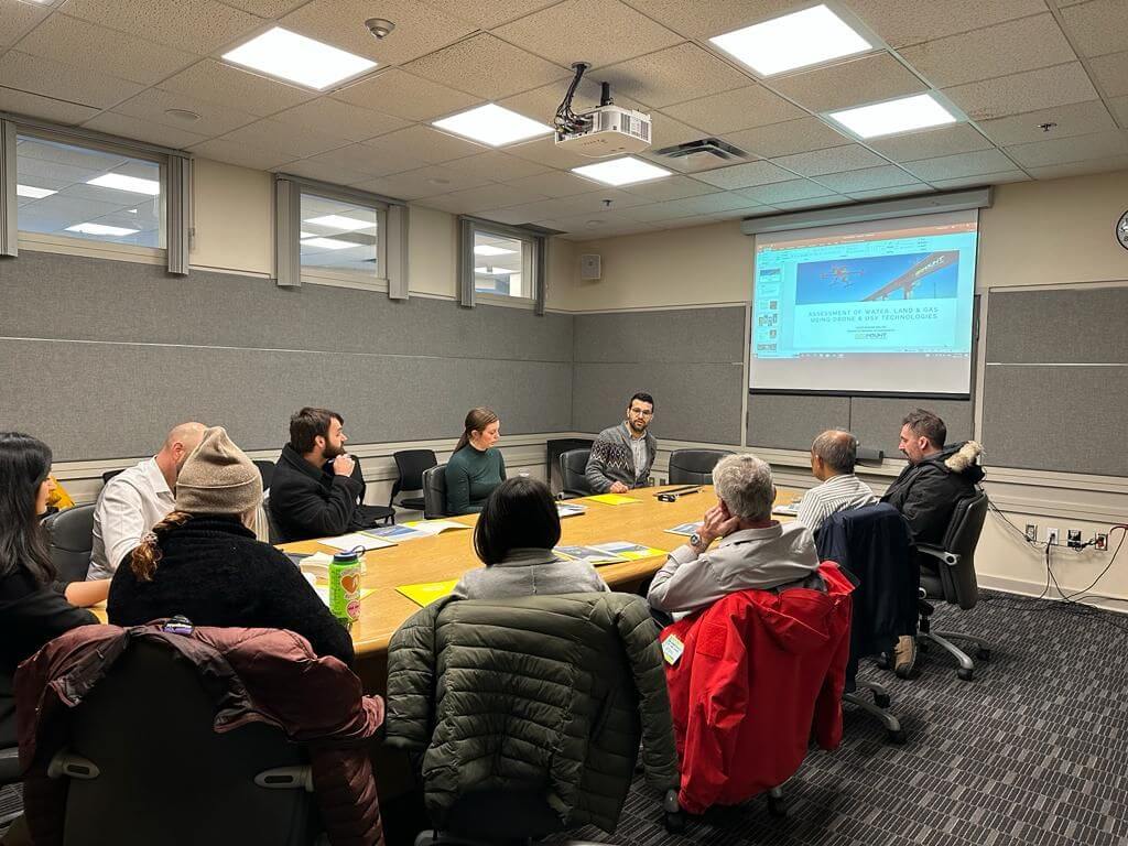
In recent years, the impact of climate change has become an increasingly urgent concern, prompting innovative solutions to combat its effects. In Canada, where the beauty of nature intertwines with bustling urban landscapes, a groundbreaking approach harnessing remote sensing technology …
In the realm of satellite imagery and UAV (Unmanned Aerial Vehicle) systems, Enhanced Super-Resolution Generative Adversarial Networks (ESRGAN) stands as a game-changer. Developed by Geomount Inc., this innovative approach harnesses the power of Deep Learning to significantly enhance image quality …
Unmanned Aerial Vehicles (UAVs), also known as drones, have gained significant popularity in recent years due to their versatility and ability to capture high-resolution data. In the field of hydrology and water management, UAVs are being increasingly used for various …
In recent years, drones have emerged as a powerful tool for various industries, from agriculture to environmental monitoring. With their ability to cover large areas quickly and efficiently, drones have the potential to play a significant role in promoting sustainability. …
Aerial surveying of landfills is a crucial aspect of landfill management, providing a comprehensive overview of the site from a bird’s-eye view. It is important to perform aerial surveys annually for several reasons, including: Furthermore, regular aerial surveying provides valuable …
Geomount Inc. had the honour of holding a lunch and learn for City of Chilliwack in City Hall. The event was a huge success, and we had the pleasure of meeting some of the city’s most talented professionals. During the lunch and learn, …
Interviewees for this report described using UAVs in this manner for multiple purposes and settings, such as searching for safe access routes to disaster areas, getting an idea of the general scope of flooding events, and conducting an initial reconnaissance …